Education & Institution
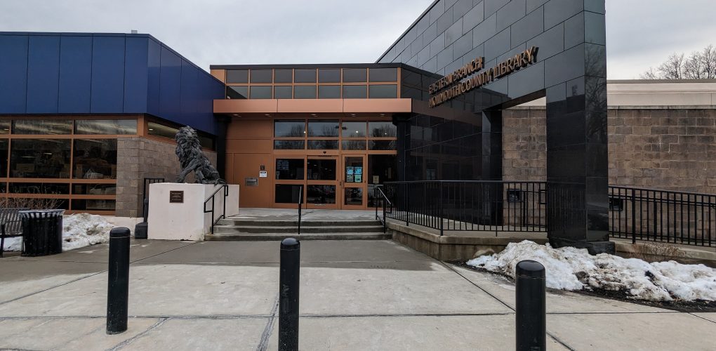
Addition of a New Entrance Canopy at the Monmouth County Eastern Branch Library in the Borough of Shrewsbury
- Owner: County of Monmouth
- Completed: March 2024
- Services: Land Surveying Services
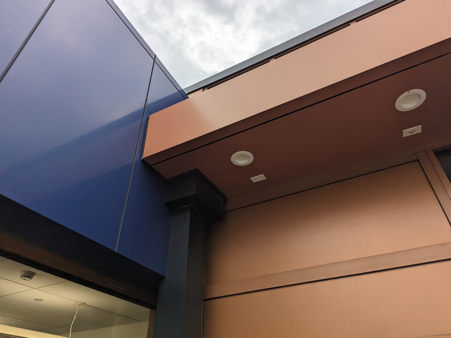
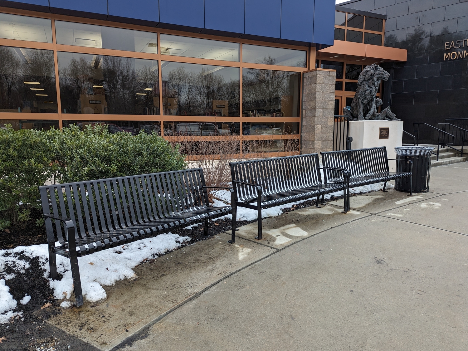
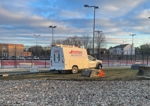
MFS Engineers & Surveyors provided professional land surveying services for the proposed new entrance canopy. The project site is located at the Monmouth County Eastern Branch Library in the Borough of Shrewsbury, NJ.
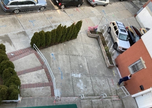
The horizontal control was established in the field by GNSS RTK observations utilizing two primary control points. Additional control points were set and located by conventional traversing procedures. The horizontal control was tied to the appropriate State Plane Coordinate System NAD83, US Survey Feet. The vertical datum was tied to NAVD88 either by a level run from known NGS Vertical benchmarks or GNSS RTK observations.
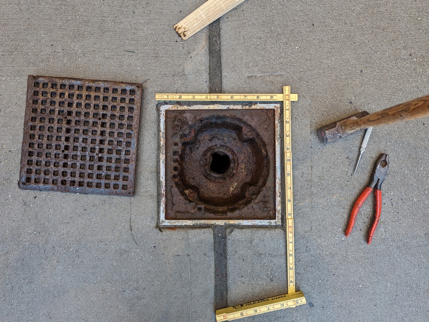
MFS performed a topographic field survey to locate the apparent accessible above-ground physical features, such as buildings, columns, curbs, edge of pavement, drives, striping, sidewalks, fences, walls, utility/light poles, signs, street trees, and tree lines. First-floor/garage floor elevations were determined at doorways. Cross-sections of paved surfaces were surveyed at a minimum of 50-foot intervals and at low/high points. Spot elevations were obtained at a spacing sufficient to develop contours at an interval of one foot. Breakline features such as top/bottom of curbs, edge of pavement, top/bottom of slopes/swales/banks/walls were located. The topographic survey was limited to the exterior of the existing library entrance.
MFS located the apparent accessible surface utilities, including surface hardware such as manholes, catch basins, trench drains, valve covers, utility/light poles, and hydrants. MFS also located any apparent utility mark-outs visible at the time of the field survey that were marked out by others. The client was expected to provide any site documentation they had, including site plans, surveys, reports, and as-builts.
For storm drains and sanitary sewers, MFS attempted to obtain measurements to determine inverts and pipe sizes at accessible manholes and catch basins. The field crew located sewers within the survey limits and identified any outfalls along the shoreline within the survey limits, along with any associated upstream sewer structures if accessible.
Subsurface utilities such as water, gas, electric, and communication were depicted based on surface features and available mapping. MFS located existing subsurface mark-outs. Depiction of subsurface utilities was based on the location of surface structures and record mapping.