Government
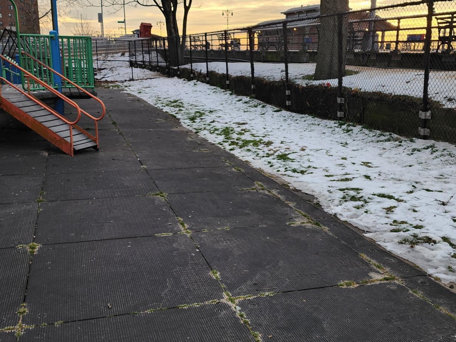
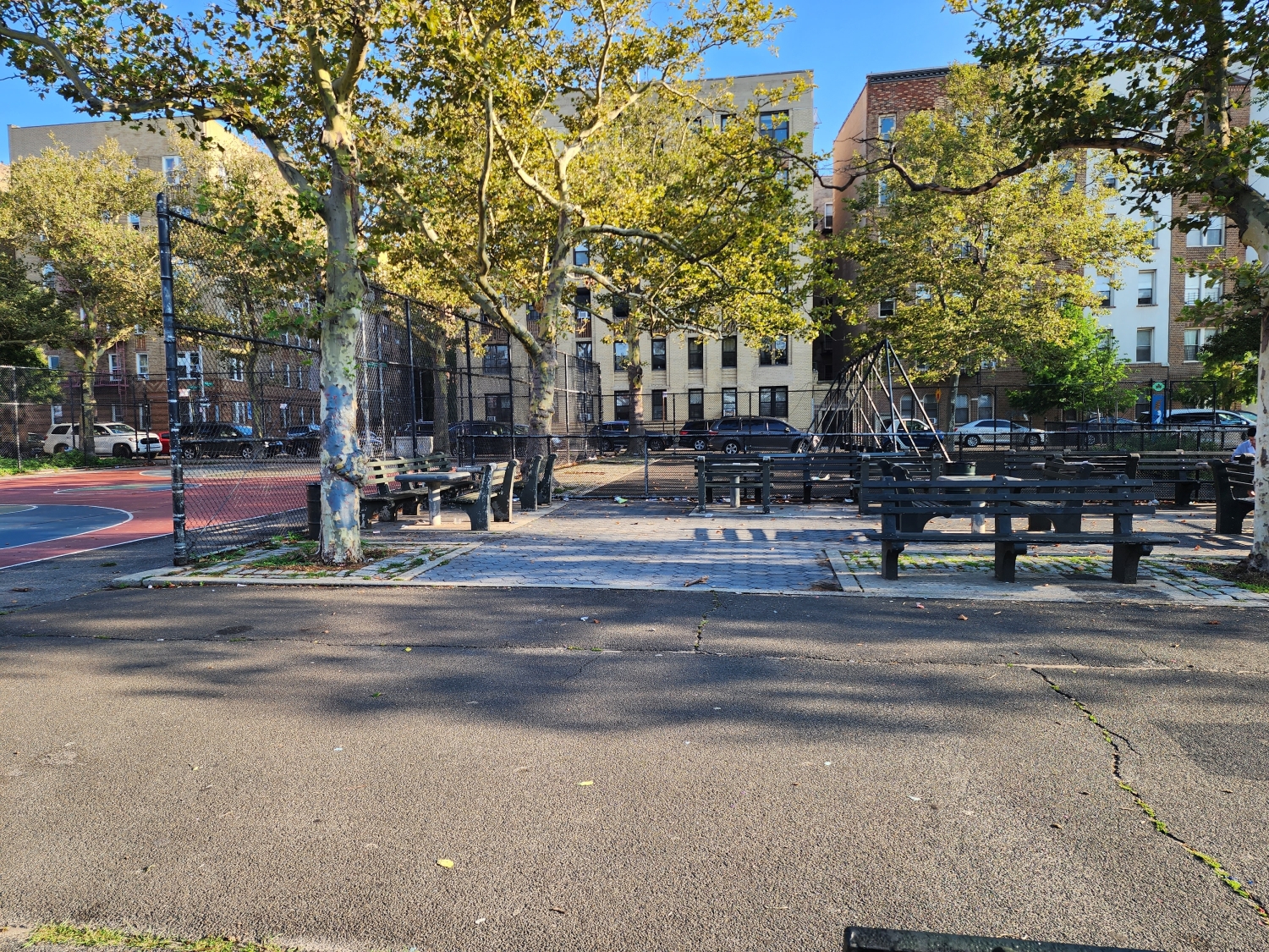
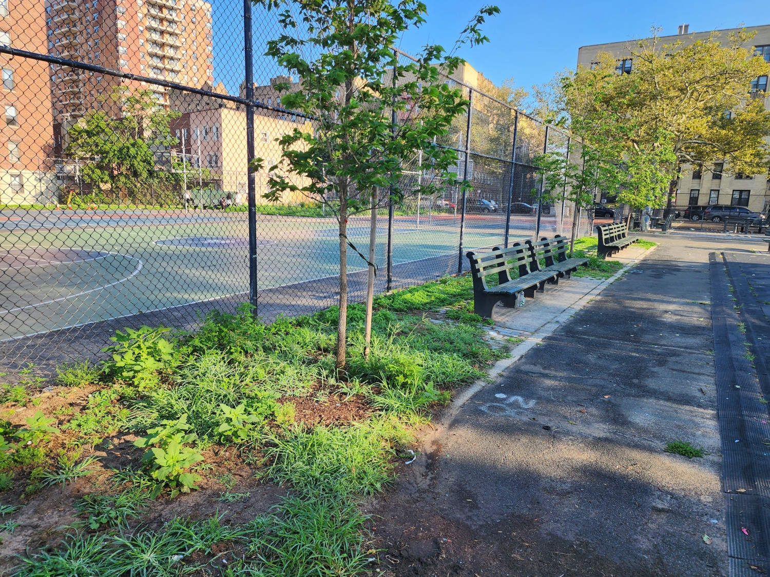
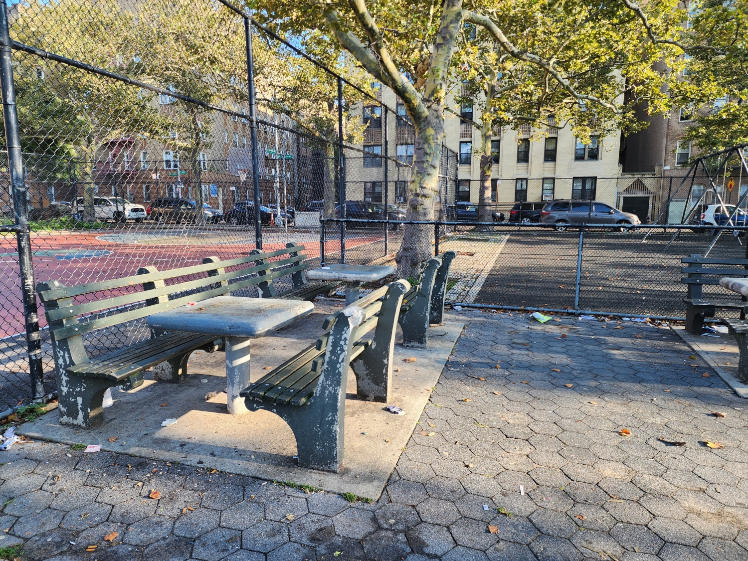
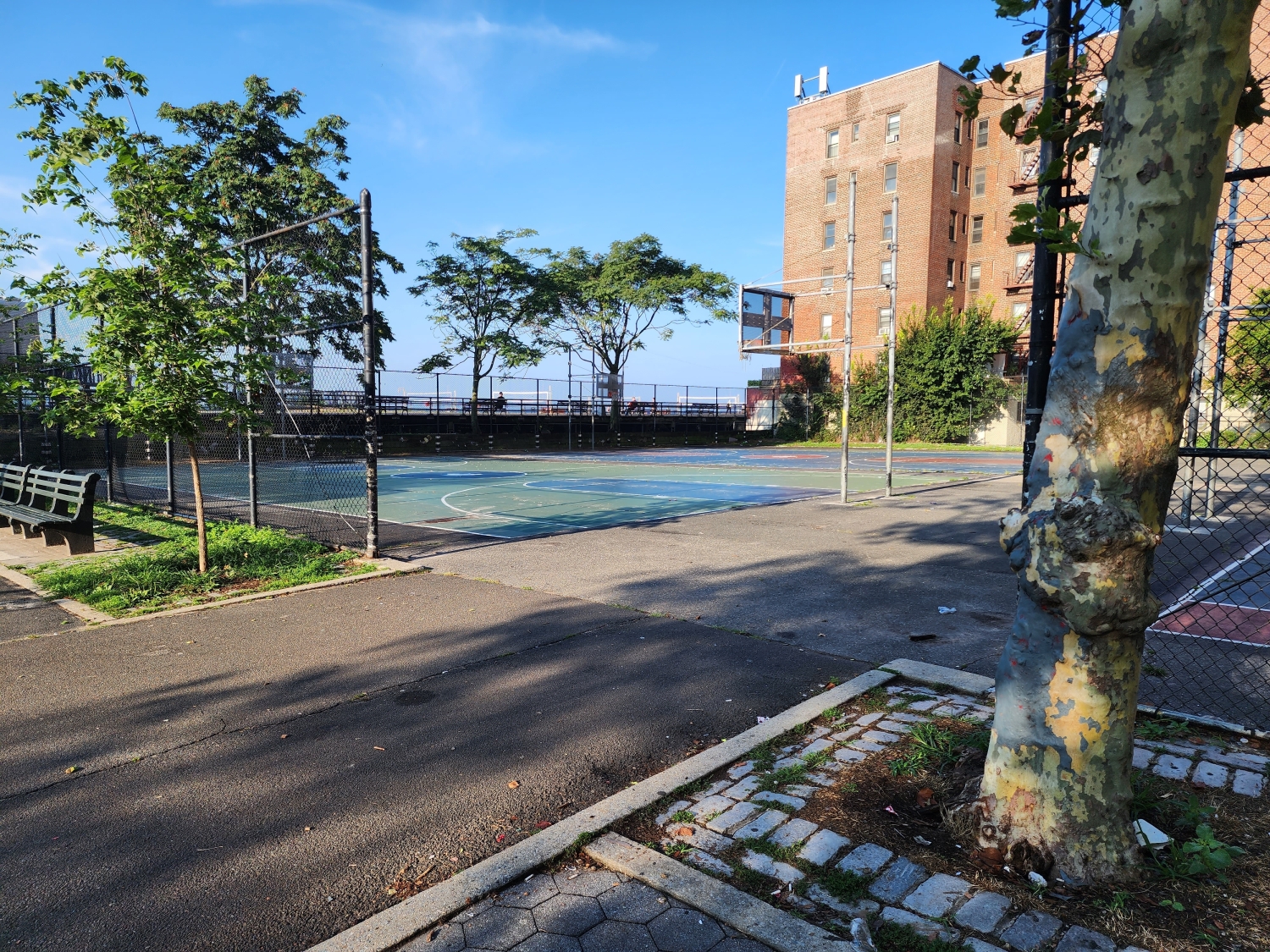
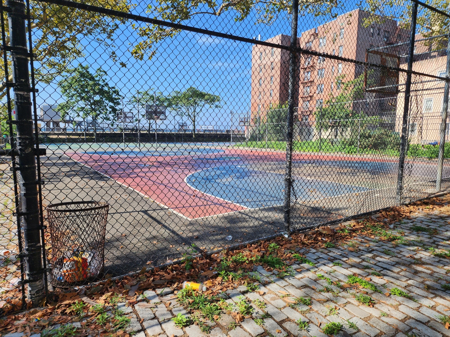
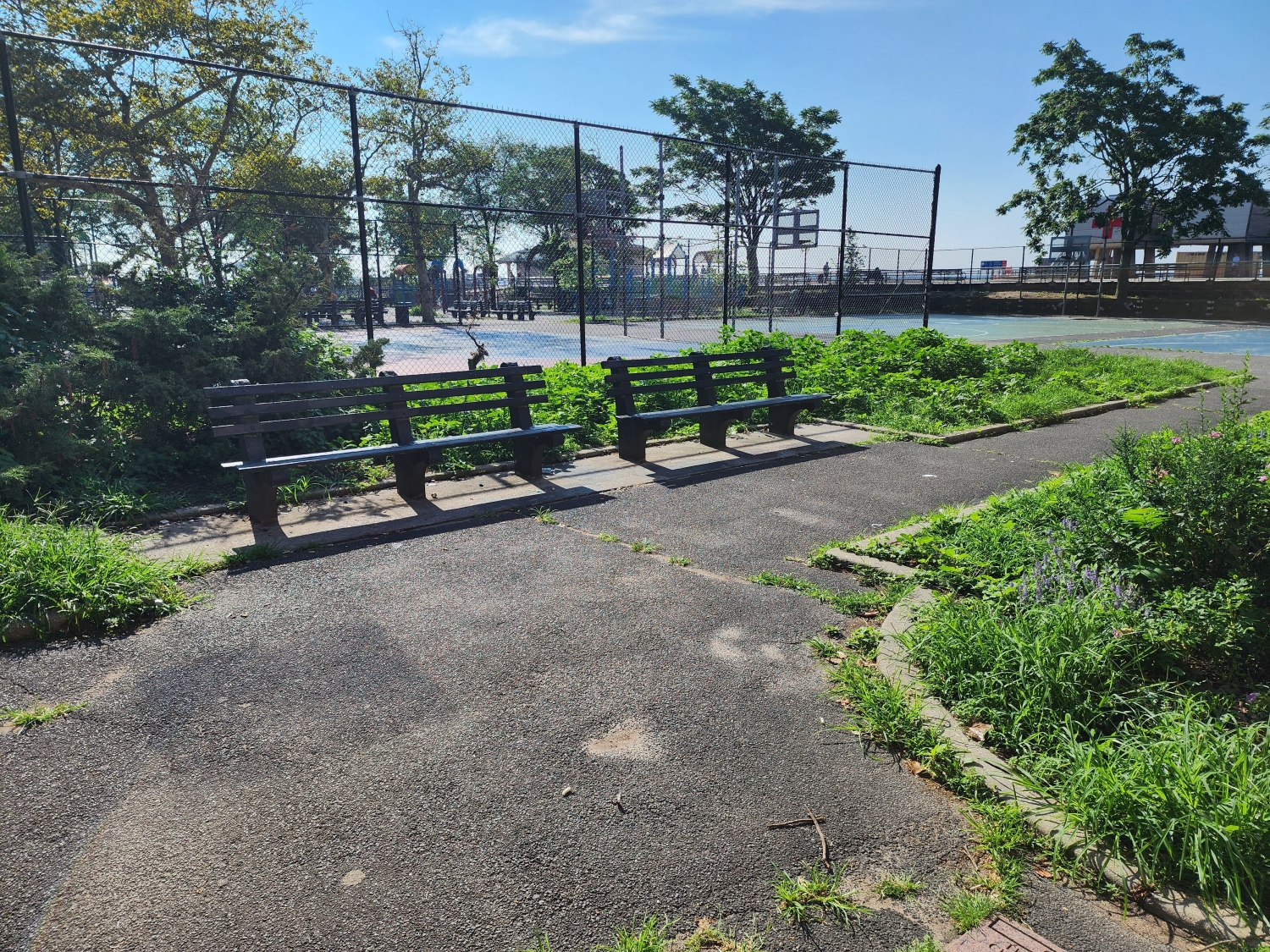
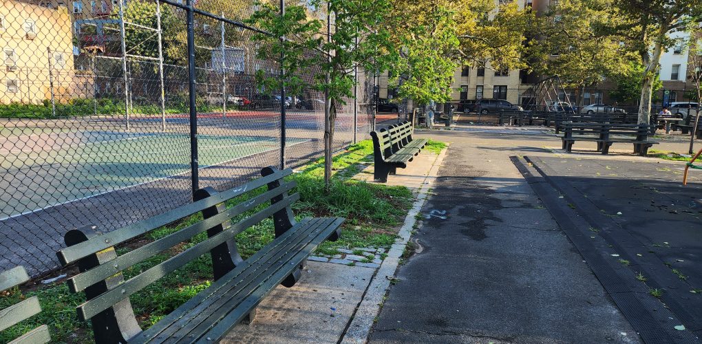
Brighton Beach Playground
- Owner: New York City Department of Parks & Recreation
- Completed: March 2024
- Services: Land Surveying Services
MFS Engineers & Surveyors provided professional land surveying services in support of the Brighton Beach Playground project.
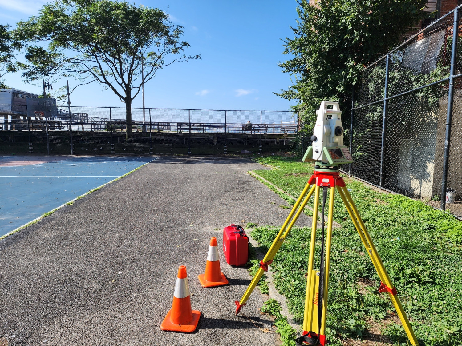
MFS established horizontal control in the field using GNSS RTK observations at a minimum of two primary control points. Additional control points were set and located using conventional traversing procedures. The horizontal control was tied to the appropriate State Plane Coordinate System NAD83, US Survey Feet. The vertical datum was tied to NAVD88 by a level run from GNSS RTK observed counter points.
MFS performed a topographic field survey to locate the accessible above ground at grade physical features, such as, but not limited to buildings, curbs, edge of pavement, drives, striping, sidewalks, fences, walls, utility/light poles, signs, street trees, tree lines. First floor/garage floor elevations were determined at doorways. Cross sections of paved surfaces were surveyed at a minimum of 50’ intervals and at low/high points. Spot elevations were obtained at a spacing sufficient to develop contours at an interval of one foot. Break line features such as top/bottom of curb, edge of pavement, top/bottom of slopes/swales/banks/walls, etc. were located.
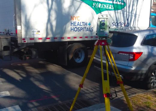
MFS conducted a utility survey of accessible surface utilities and surface hardware within the project limits. These utilities included manholes, catch basins, trench drains, valve covers, utility/light poles, hydrants, conduit, wires, and other similar items. Additionally, MFS located any apparent utility markouts visible at the time of the field survey that were marked out by others.
For storm drains and sanitary sewers, MFS obtained measurements to determine inverts and pipe sizes at accessible manholes and catch basins. MFS surveyed sewers within the survey limits and located accessible outfalls along the shoreline within the survey limits, as well as an upstream sewer structure.
MFS perform a utility survey in accordance with Quality Level C as described in ASCE Standard 38-02, “Standard Guideline for the Collection and Depiction of Existing Subsurface Utility Data”. This means that the utility data was obtained using non-destructive surface geophysical methods, supplemented by surveying and mapping methods as needed. The data collected has an accuracy range of plus or minus two feet horizontally and vertically.