Government
Citywide Ferry Service at Hunter’s Point South Landing
- Owner: New York City Economic Development Corporation (NYCEDC)
- Services: Land Surveying Services
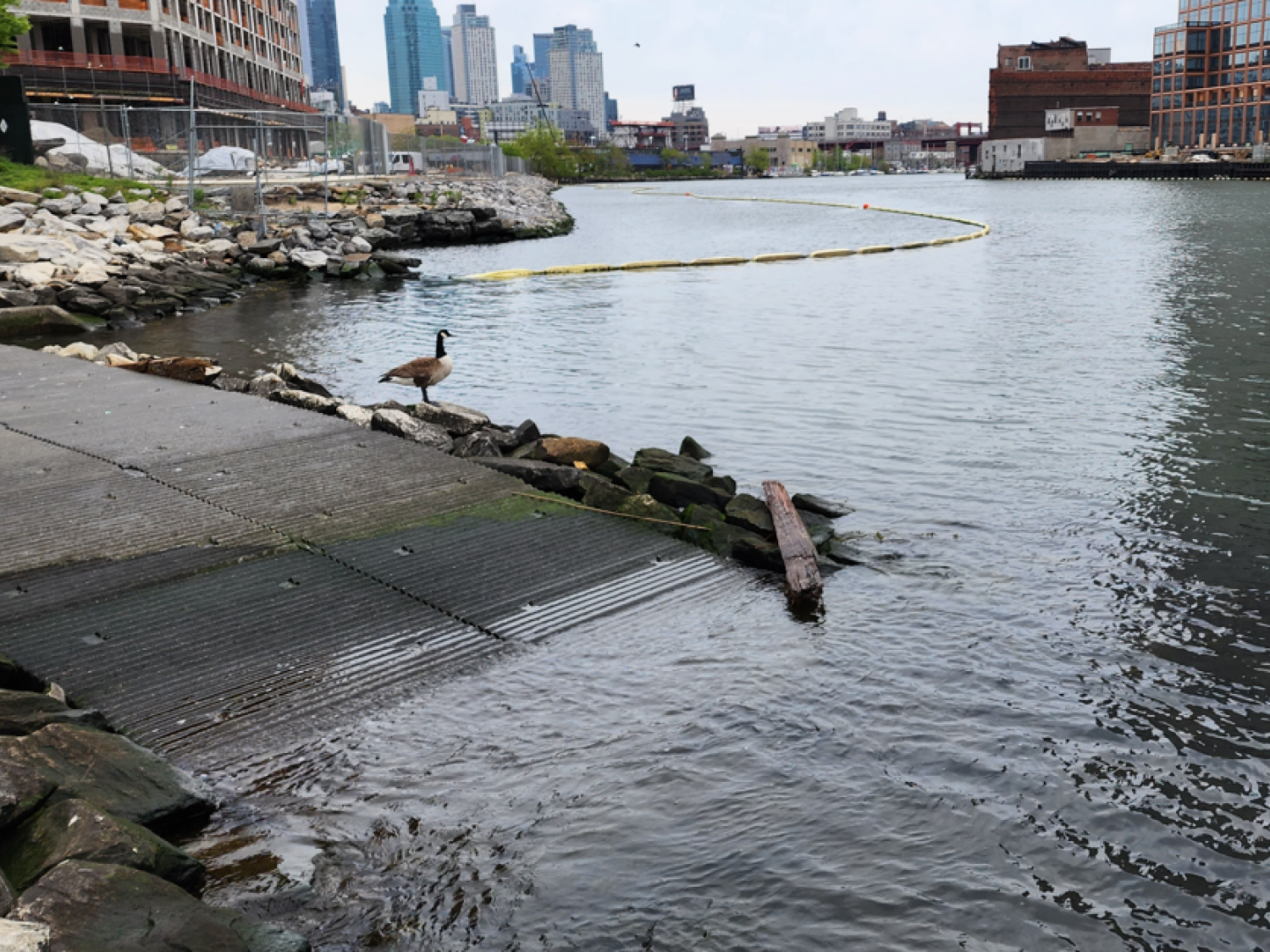
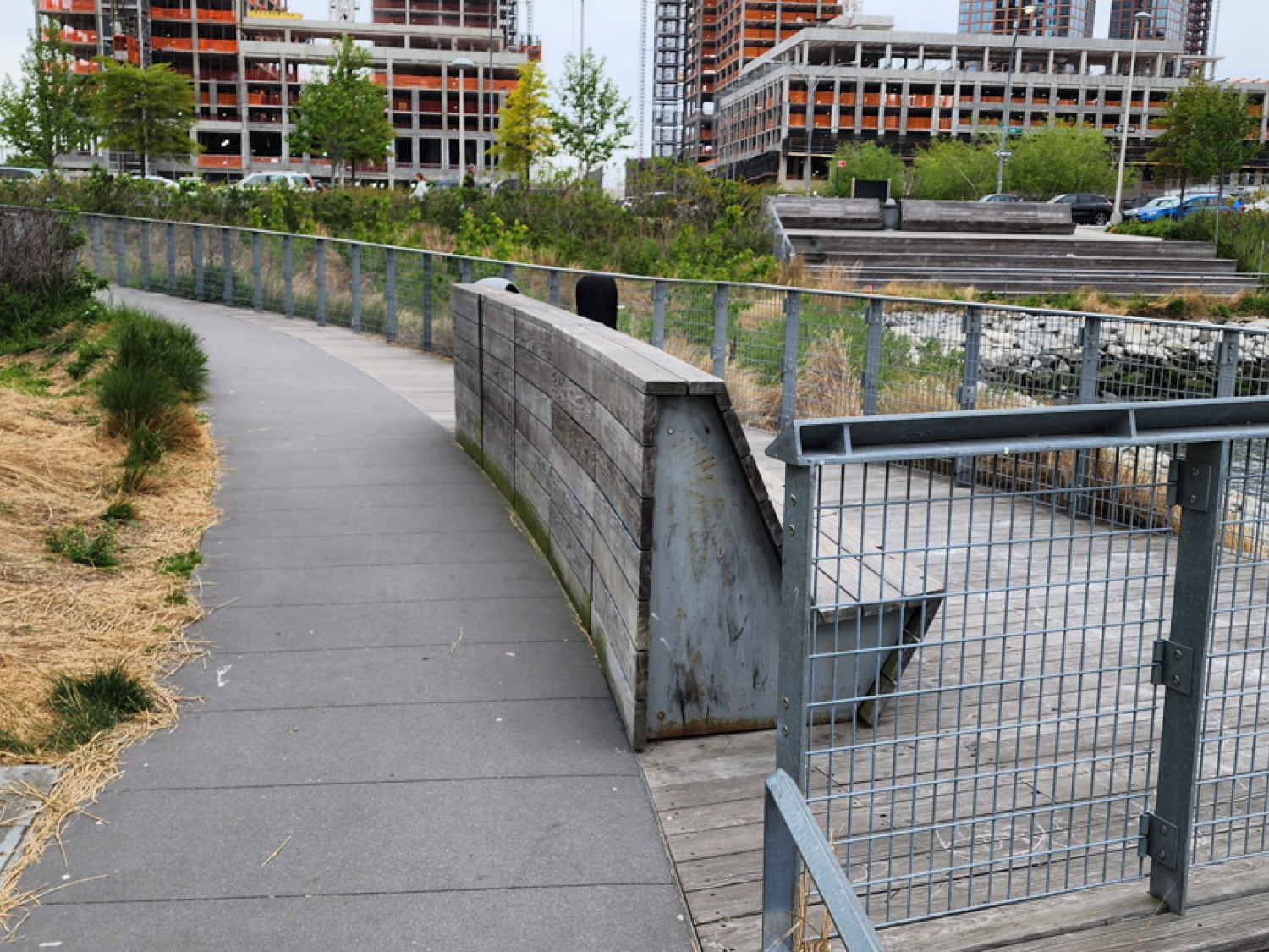
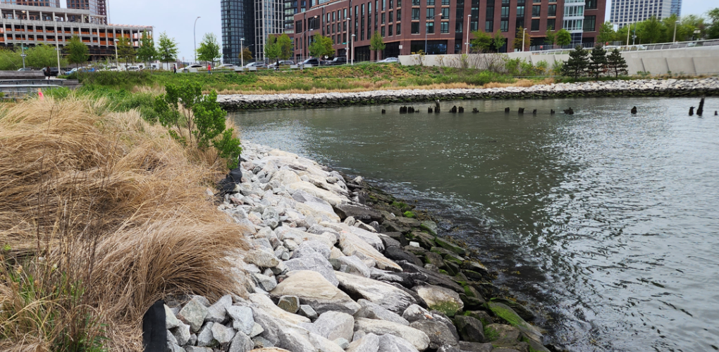
MFS Engineers & Surveyors provided professional land surveying services in support of a boundary, topographic and utility survey project at Hunter’s Point South in Queens, NY.
MFS field personnel performed the necessary field work to locate evidence of property lines, as evident on site, including property markers, monuments, crosscuts, fences, walls, building and curb lines to assist in the determination of the boundary lines. MFS obtained, via web-based searches, current deeds of the properties that were within the survey area scope of work. MFS office personnel obtained from the Borough’s Topographical Bureau office information pertaining to the property lines, right-of-way (ROW) lines, and easements. The property lines and right-of-way line’s information from pierhead and bulkhead maps, and damage maps, easements depicted in the record documents were shown on the survey plan. The results for the Boundary Line analysis were also depicted on the survey plan.
MFS performed topographic field survey services including locating the accessible above ground physical features, as evident on-site including buildings, curbs, edge of pavement, drives, striping, sidewalks, fences, walls, utility/light poles, signs, street trees, tree lines. First floor/garage floor elevations were determined at doorways. Cross sections of paved surfaces were surveyed at a minimum of 50’ intervals and at low/high points. Spot elevations were obtained at a spacing sufficient to develop contours at an interval of one foot. Breakline features such as top/bottom of curb, edge of pavement, top/bottom of slopes/swales/banks/walls, etc. were located.
MFS located the accessible surface utilities surface hardware such as manholes, catch basins, headwalls, valve covers, utility/light poles, hydrants, etc. For storm drains and sanitary sewers, MFS obtained measurements to determine inverts and pipe sizes at accessible manholes and catch basins. All measurements were obtained from street level. Horizontal locations of subsurface utilities such as steam, water, gas, electric and communication were depicted based on surface features and mark out of subsurface utilities.