Government
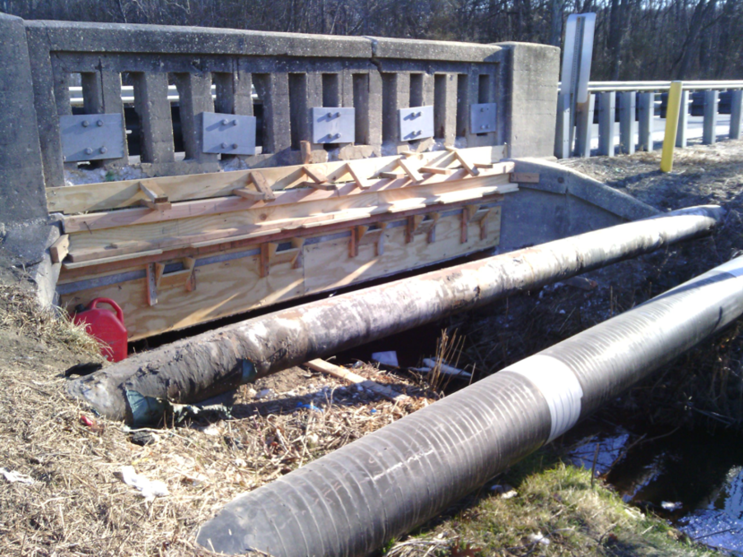
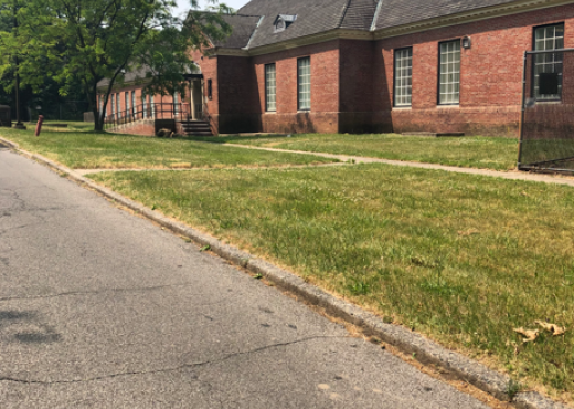
Jernee Mill Road over Selovers Brook Culvert
- Owner: Middlesex County, New Jersey
- Completed: January 2026
- Services: Land Surveying Services
MFS Engineers & Surveyors provided professional land surveying services to support the replacement of Culverts 3C74 and 3C75 along Jernee Mill Road (CR 675) over Selovers Brook and Duck Creek in Sayreville, Middlesex County, New Jersey. The project encompassed survey control establishment, cross-sectional data collection, right-of-way (ROW) re-establishment, fee taking plans GPPM, IPM associated descriptions and the preparation of base mapping adhering to client specified standards.
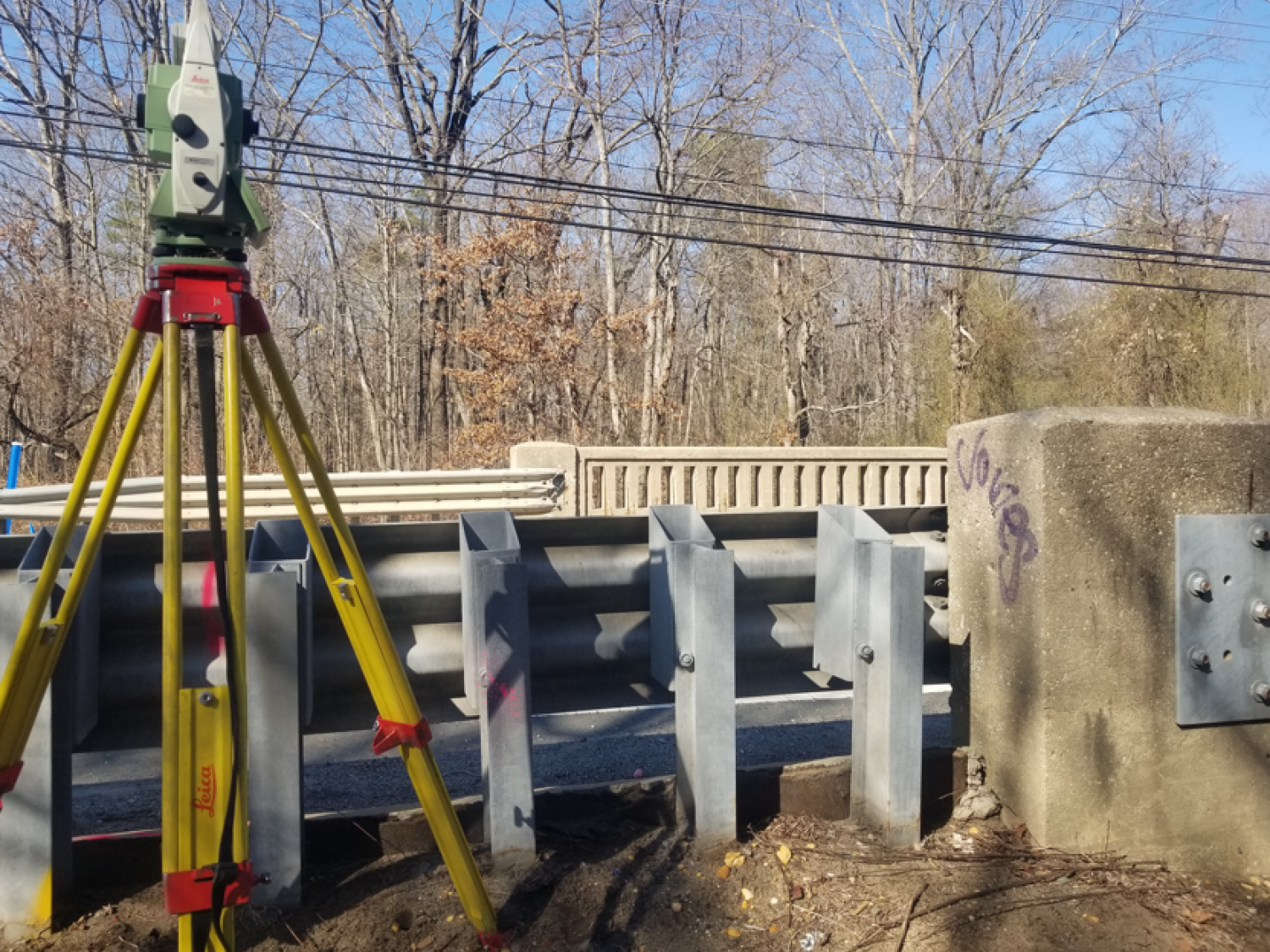
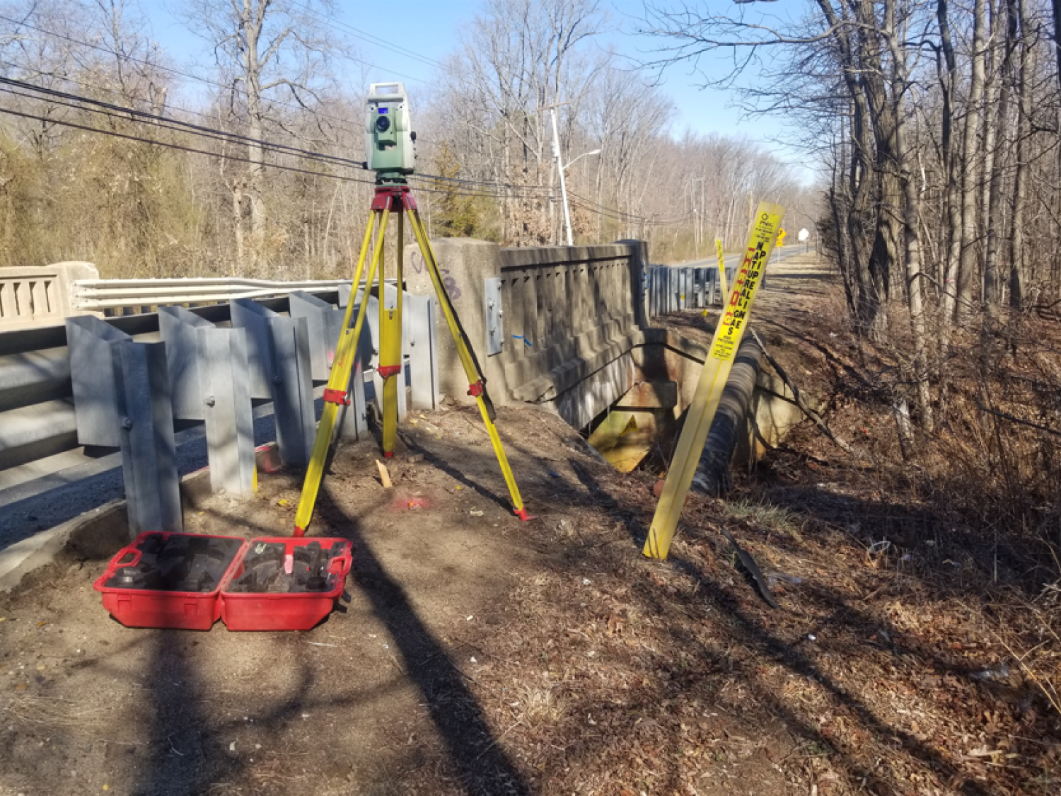
MFS utilized GNSS RTN and Leica SmartNet technology to establish primary horizontal and vertical survey control pairs. Secondary traverse baselines were created along Jernee Mill Road using these primary control points, and differential leveling was performed to incorporate both primary and secondary control points. The horizontal control was tied to the New Jersey State Plane Coordinate System (NAD83), while the vertical control was tied to the North American Vertical Datum (NAVD88). Although a Survey Control Report was not part of the deliverables, all survey efforts were overseen by a licensed land surveyor in New Jersey to ensure accuracy and compliance.
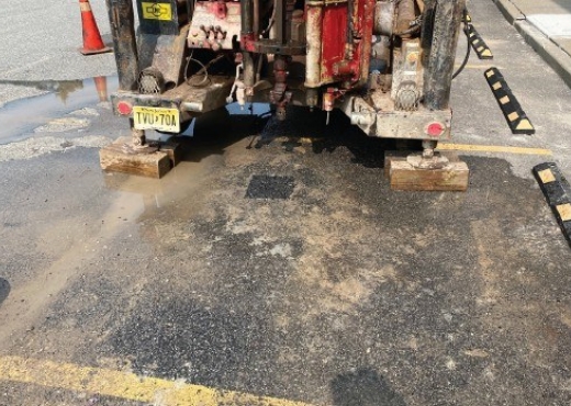
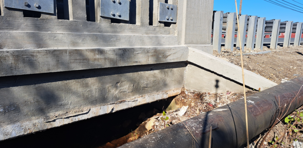
Cross-sectional data were collected along Jernee Mill Road at intervals of approximately 50 feet, extending 500 feet from each culvert and 25 feet beyond the centerline. Stream cross-sectional data were gathered for Selovers Brook and Duck Creek at 25-foot intervals for the first 100 feet upstream and downstream from the culverts, and at 50-foot intervals beyond that up to 500 feet. These cross-sections included key breakline features such as curbs, road crowns, and stream banks, as well as visible and accessible manmade surface features, including buildings, utility hardware, fences, and signage. Rim and grate elevations of sanitary and drainage structures were recorded, along with invert measurements, pipe types, and sizes. Structures with excessive debris or silt were noted.
To establish the ROW, MFS obtained relevant NJDOT and county ROW mapping, road return documents, deeds and files maps, which were corroborated with field evidence recovered by surveyors. A thorough analysis and review of these documents and evidence enabled the re-establishment of the ROW. Following determinations by LiRo regarding potential ROW impacts, MFS set eight ROW monuments, with four monuments placed for each structure.
MFS prepared Entire Tract Maps (ETMs), General Property Parcel Maps (GPPMs), Individual Parcel Maps (IPMs), and legal descriptions for impacted parcels. Title reports for each parcel were reviewed to confirm property boundaries. Jurisdictional maps and agreements were updated based on client-provided data, and condemnation packages were prepared as necessary.
Using the field data collected, MFS prepared topographic base mapping for the project at a scale of 1” =30’ with 1-foot contours. The mapping was created in AutoCAD Civil 3D, following LiRo’s preferred CADD standards. Digital tie sketches of the primary and secondary survey control points were also developed in CADD to support the project’s needs.