Government
Lake Hopatcong State Police Marine Station
- Owner: New Jersey Division of Property Management and Construction (DPMC)
- Completed: September 2025
- Services: Land Surveying Services
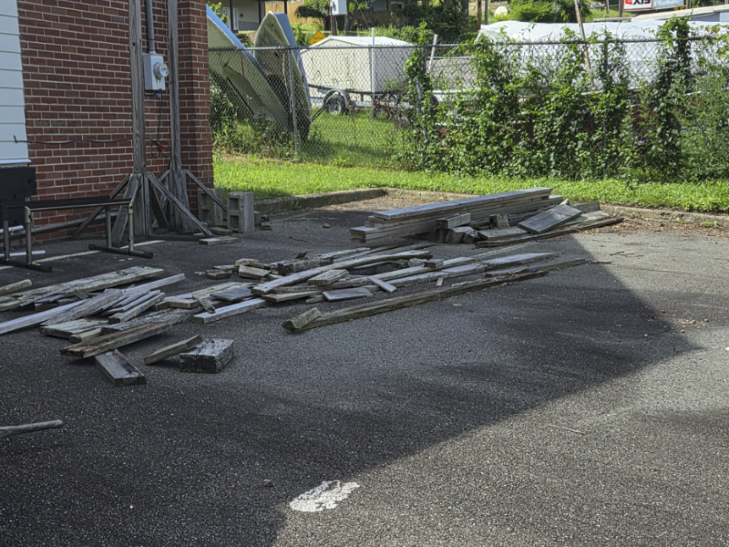
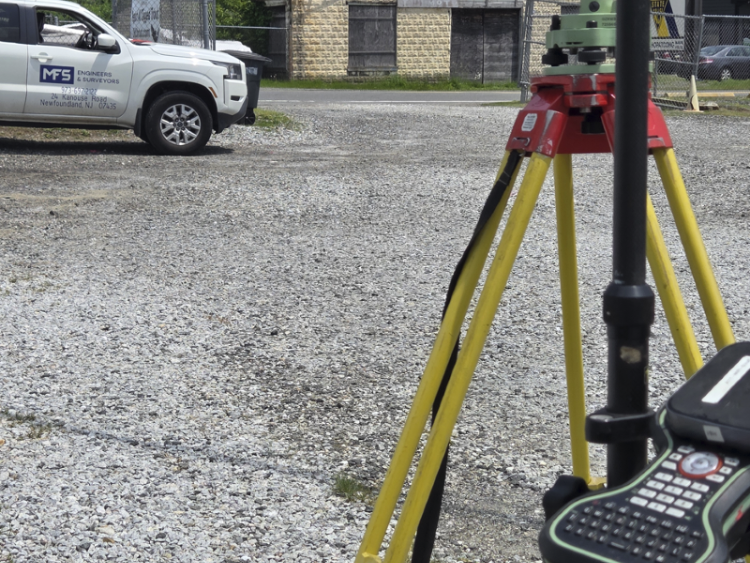
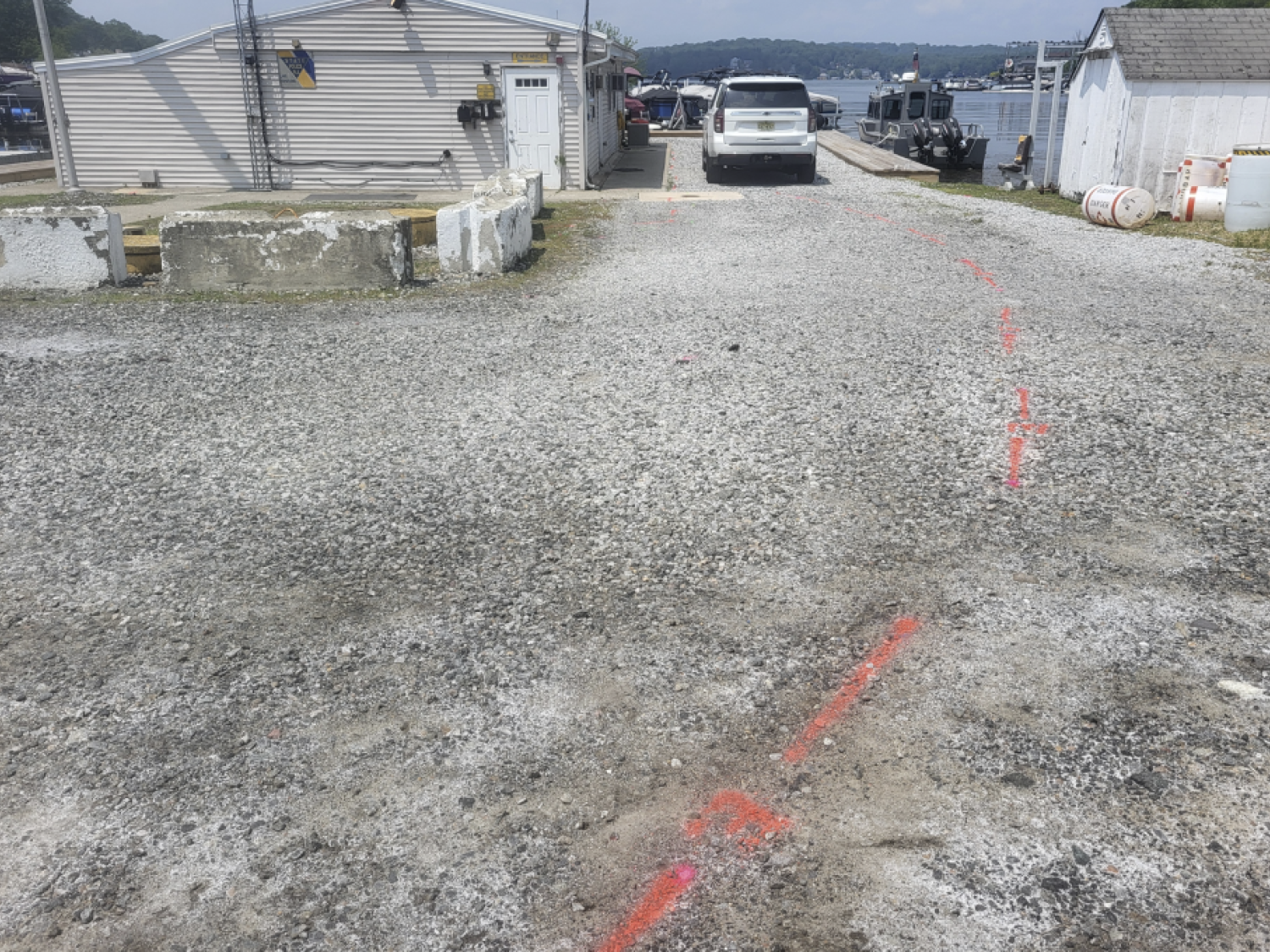
MFS Engineers & Surveyors provided comprehensive site mapping and data collection to support the development of the New Jersey State Police Marine Station at Lake Hopatcong. The scope required accurate boundary and topographic mapping, utility identification, and integration of multiple surveying technologies to capture the site’s existing conditions in detail.
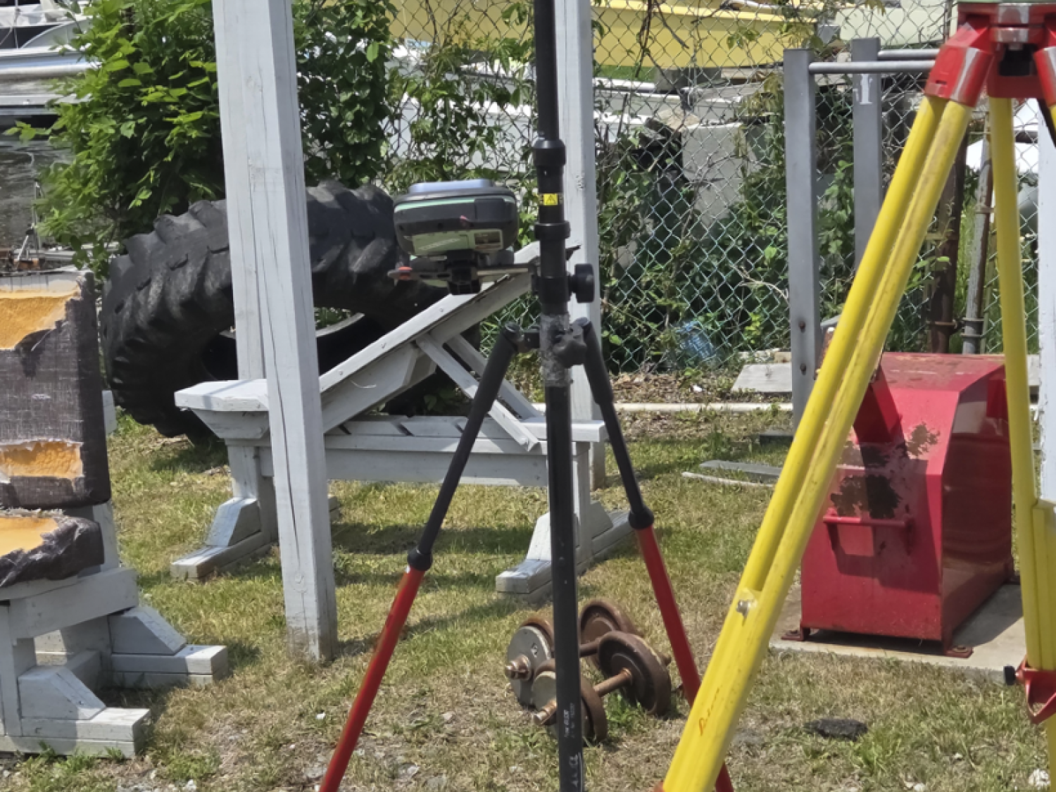
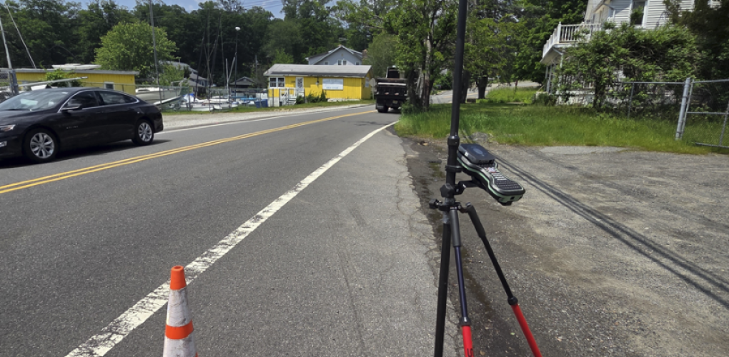
MFS’ survey team established primary and secondary survey control points tied to local NGS monuments using Leica Smart Net North America GPS technology. The horizontal and vertical datums were based on the New Jersey State Plane Coordinate System (NAD83) and NAVD88, respectively. The team performed boundary and topographic surveys with one-foot contours, ensuring accurate representation of terrain features such as buildings, curbs, fences, walks, and surface utilities.
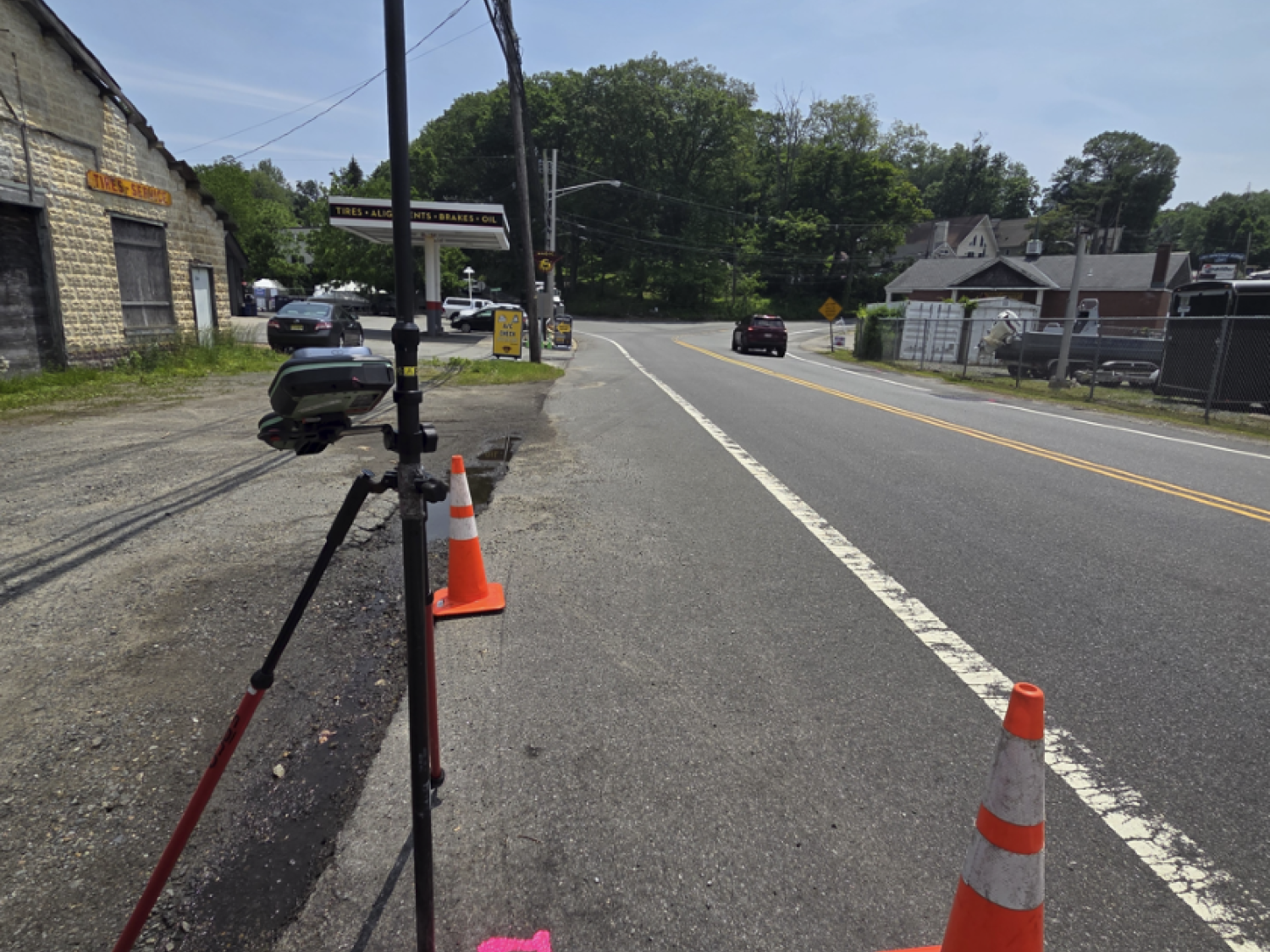
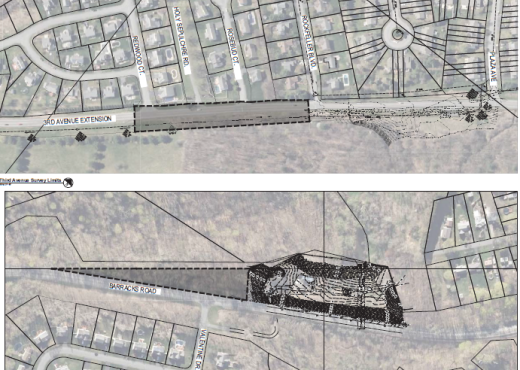
To capture the site comprehensively, the survey department employed conventional surveying methods alongside advanced technologies, including aerial LiDAR, drone photogrammetry, and 3D high-definition laser scanning. These efforts enabled the creation of detailed mapping that included elevations for sanitary and drainage structures, as well as invert data for underground utilities. They also identified utility poles and roadway lighting, recording ID numbers for reference.
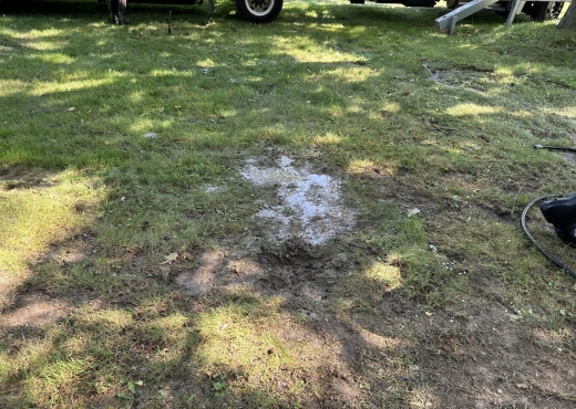
A subsurface utility investigation was performed using electromagnetic locating tools and Ground Penetrating Radar (GPR) to detect existing underground utilities within the project site. The survey team completed a boundary and right-of-way analysis, utilizing title reports, adjoining property deeds, field maps, and NJDOT right-of-way plans for County Route 615. This analysis supported the preparation of preliminary deed mosaics and final boundary determinations following accepted professional standards.
Additional tasks included documenting wetland flag locations established by others and conducting hydrographic surveys within Lake Hopatcong as required. All collected data underwent processing using least squares adjustment methods and was delivered in MicroStation V8 format in compliance with NJDOT standards.