Government
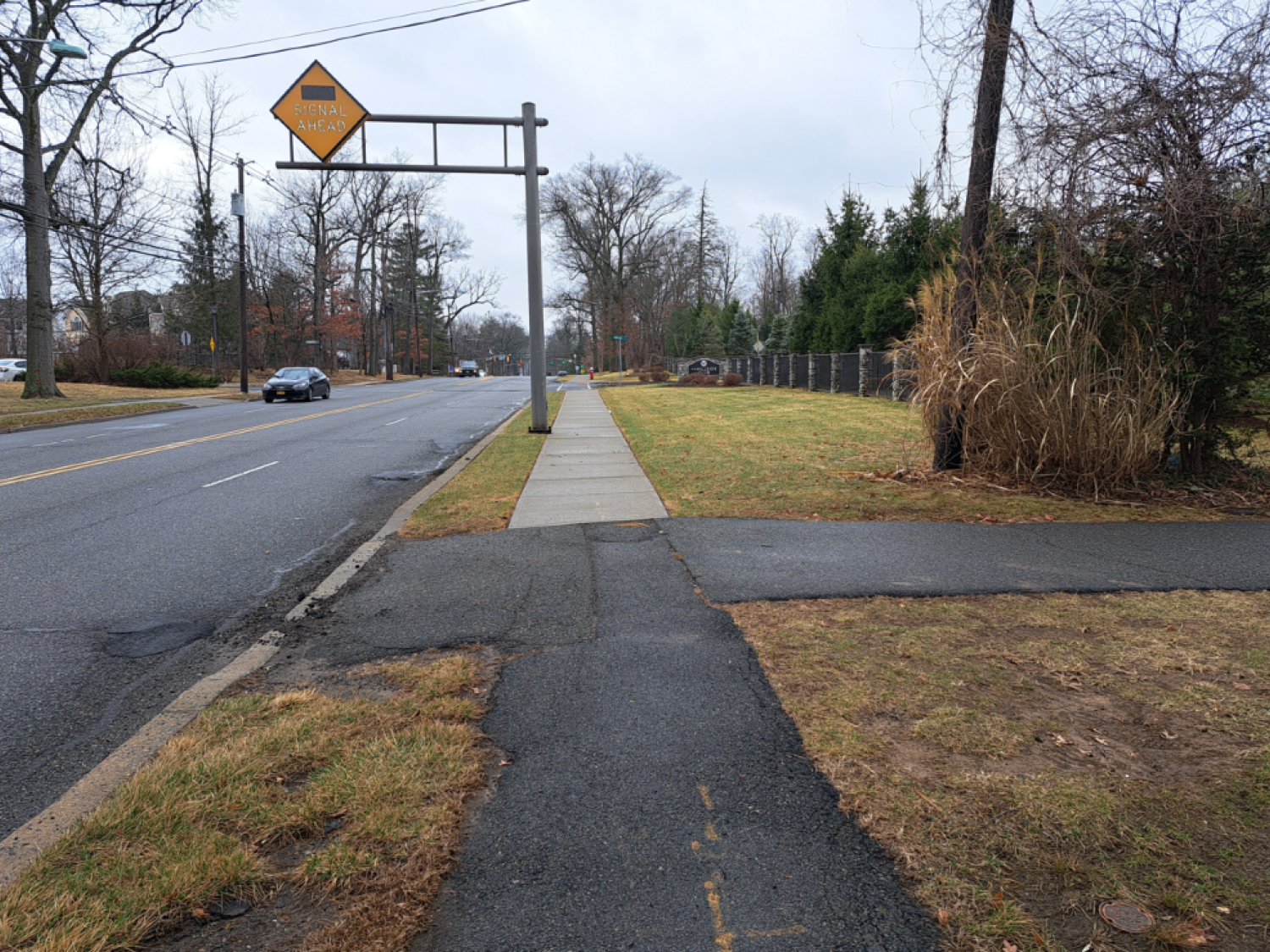
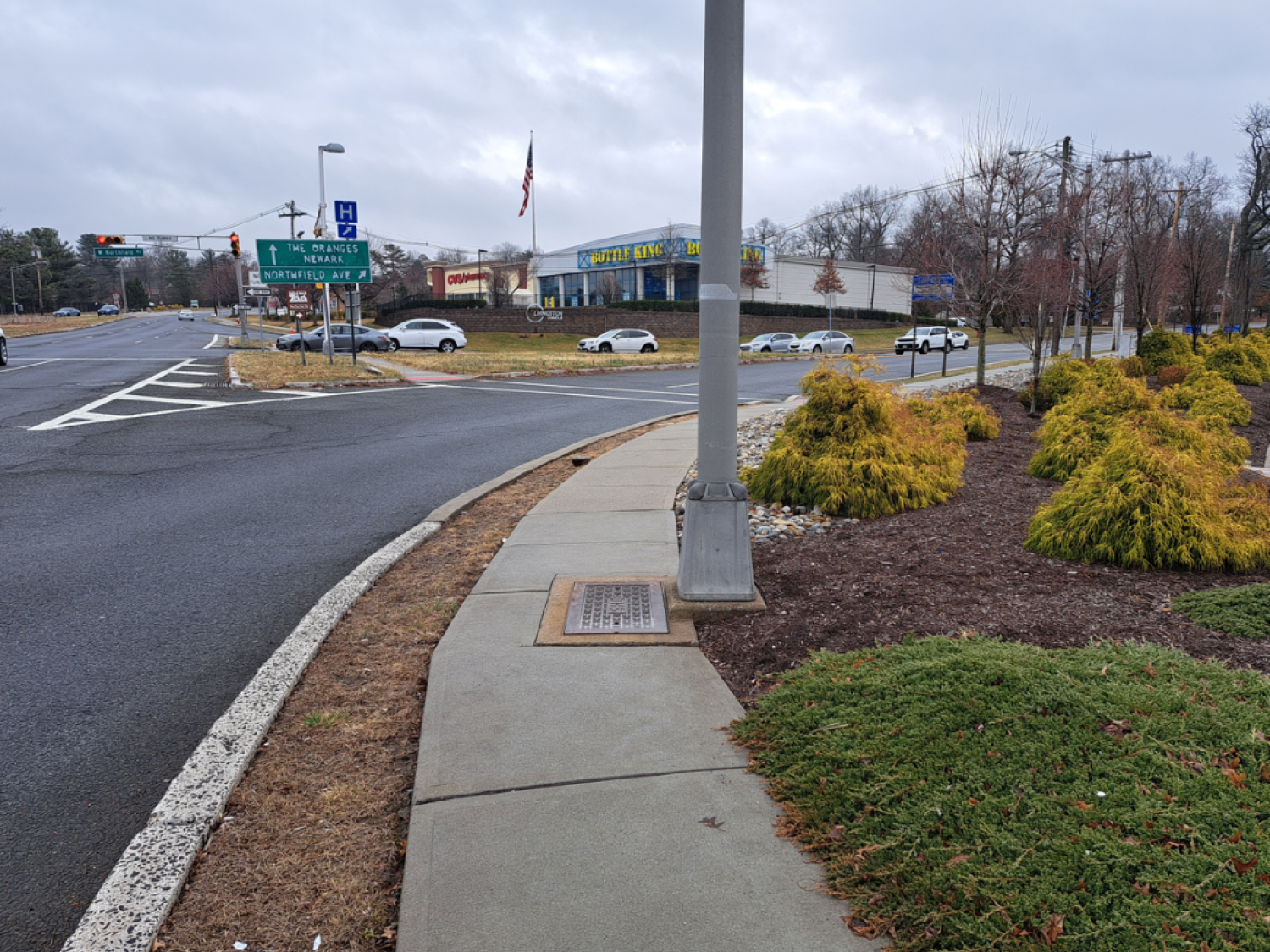
Livingston Twp 2022 SRTS - Northfield and Hillside Ave
- Owner: Livingston Township
- Completed: June 2025
- Services: Land Surveying Services
MFS Engineers & Surveyors provided land surveying services to support the 2022 Safe Routes to School initiative in Livingston Township, focusing on roadway and pedestrian safety improvements. The work included multiple phases of survey services to provide accurate mapping and subsurface information for design and construction planning.
During the Preliminary Engineering phase, the survey team established primary and secondary survey control across the project area using GNSS RTN and Leica SmartNET, supplemented by conventional traversing and leveling. Control points were tied to the New Jersey State Plane Coordinate System (NAD83) for horizontal control and the North American Vertical Datum (NAVD88) for vertical control. A comprehensive survey control report was prepared, signed, and sealed by a licensed surveyor, including computations, analysis, final coordinates, and tie sketches.
The team then performed a detailed topographic survey of the project limits, which included obtaining cross-sectional data at 50-foot intervals and collecting supplemental information at driveways, ADA ramps, and low/high points. The survey captured all visible man-made features such as surface utility structures, signs, fences, and walls, and recorded rim and grate elevations for sanitary and drainage structures along with invert elevations and pipe sizes where accessible. Any boundary or right-of-way evidence encountered during the survey was also documented.
Base maps were created using the collected field data, including planimetric features, breaklines, and a Digital Terrain Model (DTM). The mapping was delivered in the client’s preferred format, either AutoCAD or MicroStation, and included one-foot contours, ROW lines, and other essential data. Additionally, the survey team initiated a Right-of-Way Impact Plan by reviewing county and township records, recovering monumentation, and analyzing record documents alongside field evidence to re-establish roadway alignments and ROW within the project area.
In the Final Design phase, the survey team conducted supplemental surveys to support design refinements, using control established in the earlier phase. They also executed a subsurface utility investigation that included the installation of five Quality Level A test holes, performed in coordination with a subcontractor. Using Ground Penetrating Radar (GPR) and electromagnetic locating equipment, the team identified and marked out underground utilities within a 20-foot radius of each test hole. An “as-built” survey of the test hole locations and supplemental utility information was then completed. All mapping and survey data were processed and delivered in updated CADD formats, ensuring accuracy for final design documentation.