Government
Mercer County, New Jersey LCD
- Owner: Mercer County, New Jersey
- Completed: May 2025
- Services: Photogrammetry and Aerial LiDAR
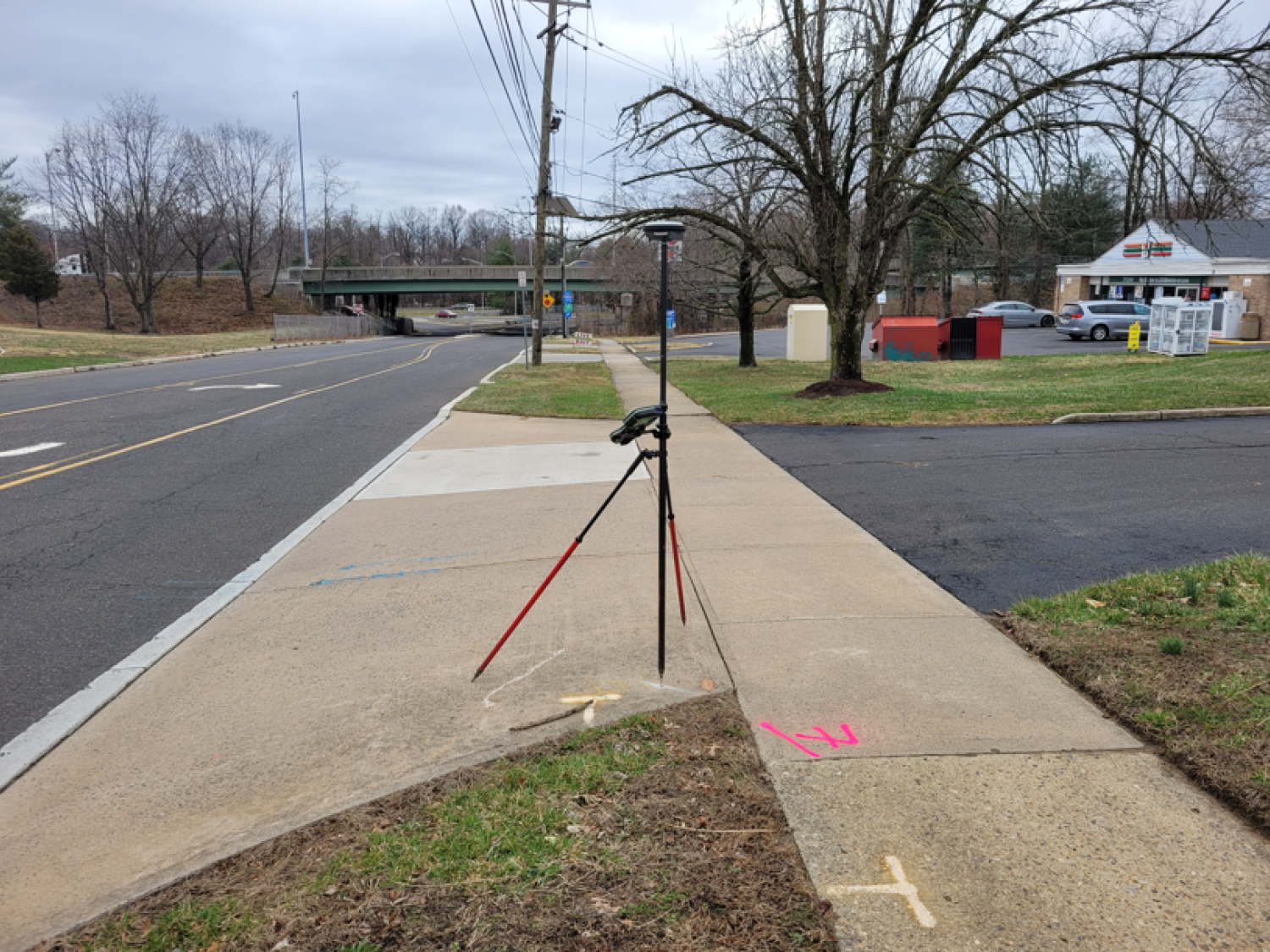
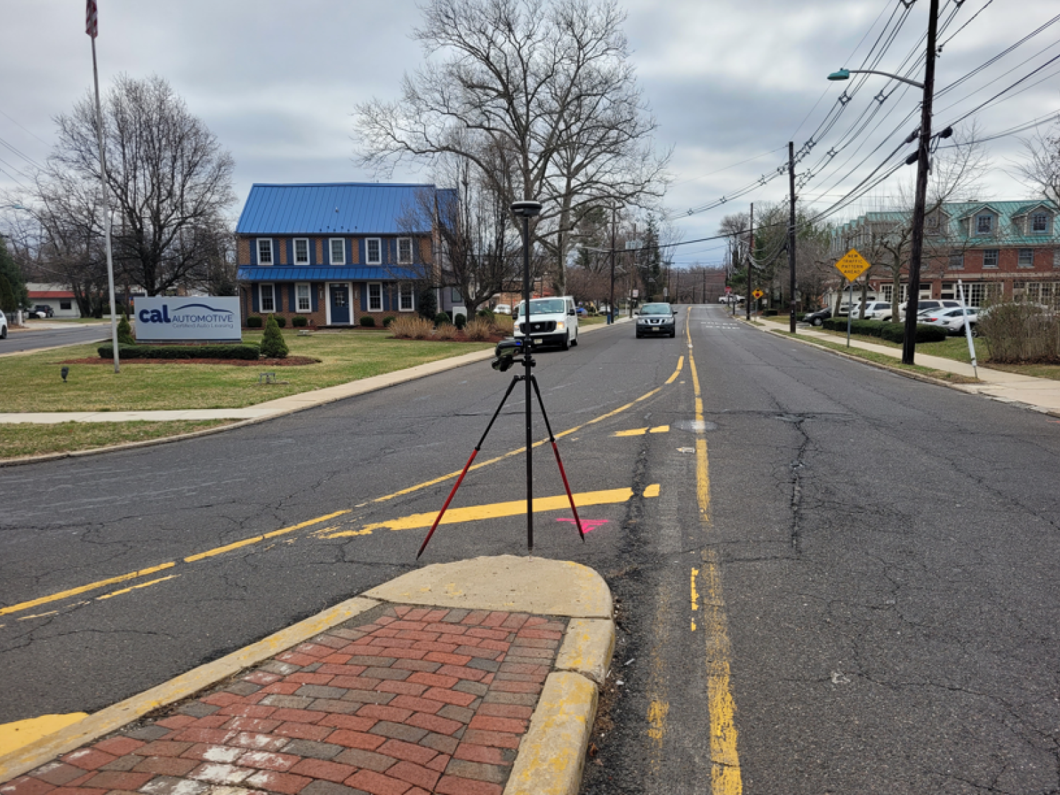
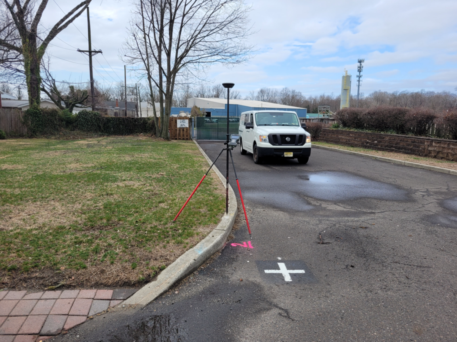
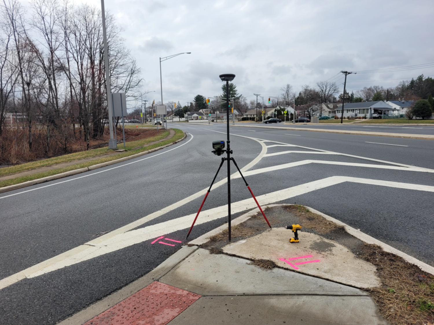
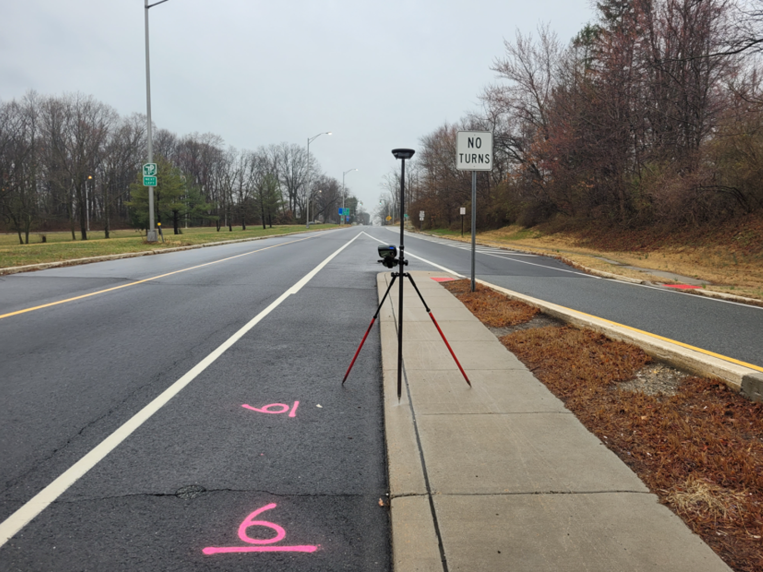
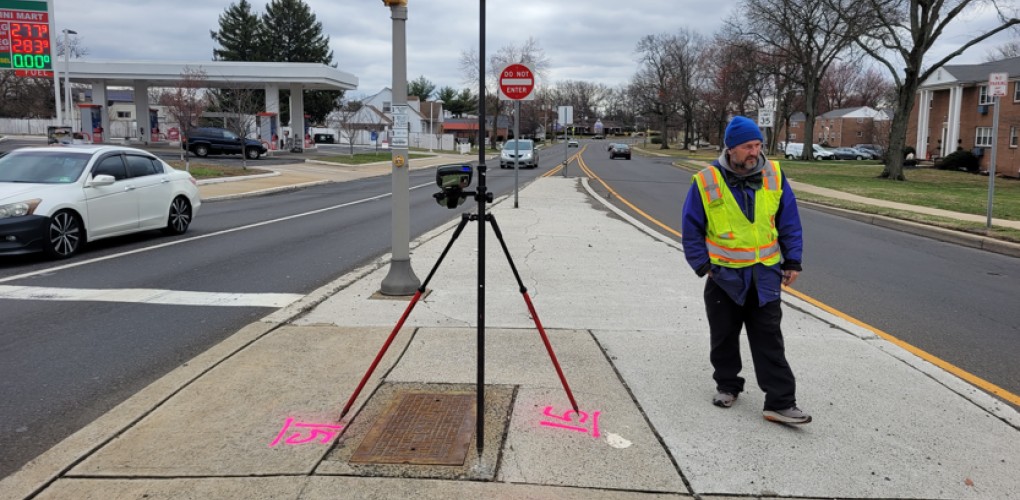
MFS Engineers & Surveyors provided land surveying and photogrammetric mapping services for the Mercer County Arena Dr. & South Broad St. LCD project. The work included establishing seven intervisible control pairs at intersections and delivering aerial topographic mapping for 57 acres, extending to the ROW and 500 feet beyond the project limits.
MFS obtained digital aerial photography at an altitude of 1,100 feet, producing imagery with a 0.02-meter ground sampling distance (GSD). The imagery, processed in 24-bit Level 3 .tif format, included stereoscopic coverage via 87 exposures and utilized the Vexcel UltraCam Falcon P-100 sensor. Aerial triangulation was performed digitally using AtlasDSP/ProjectLT software to ensure precise spatial orientation.
Field control was established with GPS and conventional methods, adhering to NJDOT Article 44. Horizontal control was tied to the NAD83 coordinate system, and vertical control to NAVD88. Preflight targets and seven control point pairs were surveyed to third-order accuracy or better. A GNSS Control Report signed by an NJ PLS detailed all findings.
Mapping was compiled at a 1” =30’ scale, adhering to NJDOT standards. Features were digitized into a Digital Terrain Model (DTM) in Bentley SelectCAD, generating 1-foot contours. The data, formatted in MicroStation with standard layers and linetypes, met ASPRS positional accuracy standards for 2.0 cm imagery. Orthoimagery was mosaicked into seamless TIFF files, georeferenced with world files, and aligned with mapping limits.
The ROW was determined using tax maps, NJGIN data, aerially mapped features, and recovered monumentation. It was added as a distinct layer to the base mapping.MFS’s team surveyed demarcated wetland flags, SOW flags, and sampling points (approximately 30 flags). Field sketches provided by the client were used to locate demarcated wetlands, SOWs, and sampling areas.
A Wetland Delineation Map was prepared at a scale of 1” =50’ with 2’ contours in ACAD C3D. The map showed topographic mapping, parcel boundary, and wetland information. Individual wetland/SOW and sampling points were identified, and delineation limit lines were shown. Transition areas and photograph location identifiers were included, using information provided by HDR.