Government
NJDPMC Deptford & West Deptford Material Storage Facility
- Owner: NJPMC
- Completed: June 2026
- Services: Land Surveying Services Geotechnical Engineering, Site/Civil Engineering
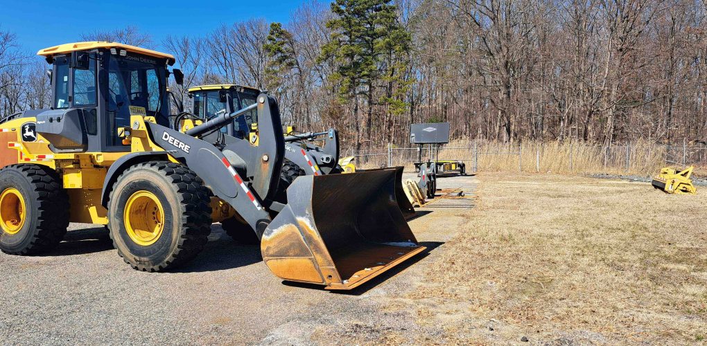
MFS Engineers & Surveyors provided site/civil engineering, geotechnical engineering and land surveying services to support the design and installation of new six-bay material storage buildings at two New Jersey Department of Transportation (NJDOT) maintenance yards in Deptford and West Deptford. These structures were developed to shelter road maintenance materials and equipment from the elements
The geotechnical engineering team conducted a comprehensive subsurface investigation, including up to six test borings—three at each site—reaching depths of 25 to 50 feet. Samples were collected continuously in the upper 12 feet and at five-foot intervals thereafter. The team documented subsurface conditions, including soil classifications, groundwater presence, and drilling activity. Laboratory testing followed, including grain size analysis, moisture content, Atterberg limits, and triaxial strength tests. MFS then prepared a detailed geotechnical report presenting design recommendations for foundations, grading, drainage, subgrade preparation, and soil behavior under loading.
The survey team performed topographic mapping and utility locating across both project sites. Using a combination of conventional surveying techniques, HDS laser scanning, and GPS tied to local NGS monuments, the team captured one-foot contours and the precise locations of existing site features, including buildings, curbs, utilities, drainage structures, and surface infrastructure. Rim and invert elevations, pipe sizes, and utility types were recorded, and wetland flags were located using submeter-accuracy GPS. Subsurface utilities were identified using electromagnetic locators and ground-penetrating radar, with data formatted to NJDOT standards in MicroStation V8.
The civil engineering team developed site design and construction documents in two phases: a 50% Design Development submission and a 100% Final Design package. Their scope included demolition plans, site layout, utility routing, erosion and sediment control, grading, and construction detailing. MFS coordinated with the architect and electrical consultants to depict utility service tie-ins and provided site-specific technical specifications. Throughout design development, MFS responded to client comments and finalized construction documents for bidding and procurement.