Government
NJTA OPS T4017 Lighting Project
- Owner: New Jersey Turnpike Authority (NJTA)
- Completed: May 2025
- Services: Land Surveying Services
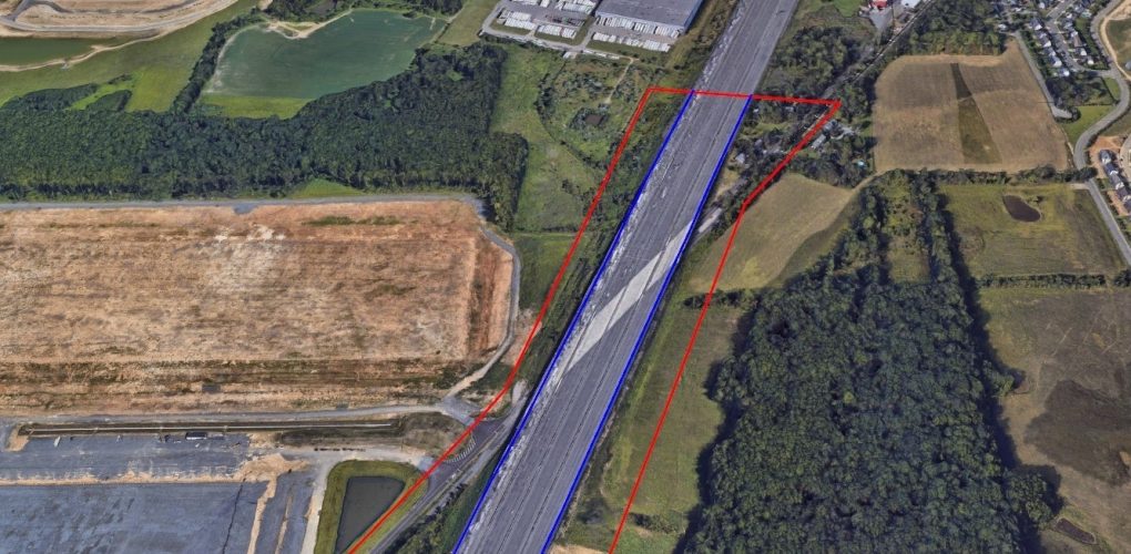
MFS Engineers & Surveyors successfully completed photogrammetric mapping and survey services for OPS No. 4017, under Contracts T200.618 and T200-694. The project involved acquiring and controlling new 7.5cm GSD aerial imagery to prepare photogrammetric base mapping of all planimetric features necessary for designing proposed lighting. These features included lighting poles, foundations, electrical equipment, power sources, utility facilities, and other topographic elements visible in the imagery.
Breaklines and spot elevations were combined with the ground-level planimetric data to create a SelectCAD Digital Terrain Model (DTM), from which 2-foot contours were generated. The data was formatted in MicroStation V8i to meet NJTA CADD specifications. To supplement the aerial mapping, conventional surveying methods were utilized, employing a combination of GNSS Real-Time Network (RTN) and traditional survey techniques. All survey data and photo control were tied to the NAD 83 New Jersey State Plane horizontal datum and NAVD 88 vertical datum.
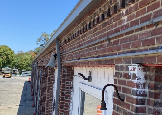
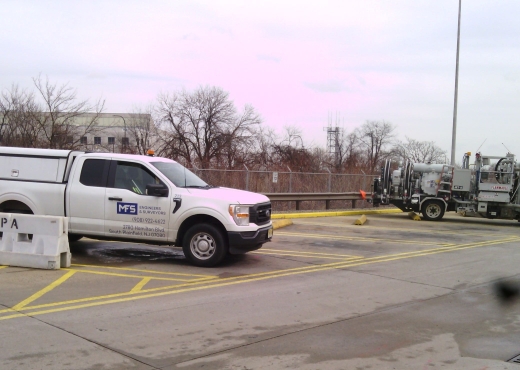
Before conducting field investigations, CAD mapping, as-built plans, and existing Authority reports and records were thoroughly reviewed. A visual field investigation was conducted to inspect and evaluate existing lighting, electrical systems, and roadway safety elements, such as guiderail. The field survey and investigation were conducted concurrently to minimize lane closures and optimize the project schedule.
One day per site was allocated to locate wetland flags that had been set by others. Additionally, supplemental surveying was performed to obtain bridge clearances within the project corridors, including structures crossing over the New Jersey Turnpike. To obtain these clearances, GNSS RTN survey control pairs were established at NJTPK shoulder areas, from which conventional observations were made to determine structure clearances. These clearances were then documented in the edited mapping.
The project was completed with precision and in compliance with all NJTA CADD standards, demonstrating MFS Engineers & Surveyors' expertise in photogrammetric mapping and survey services.