Government
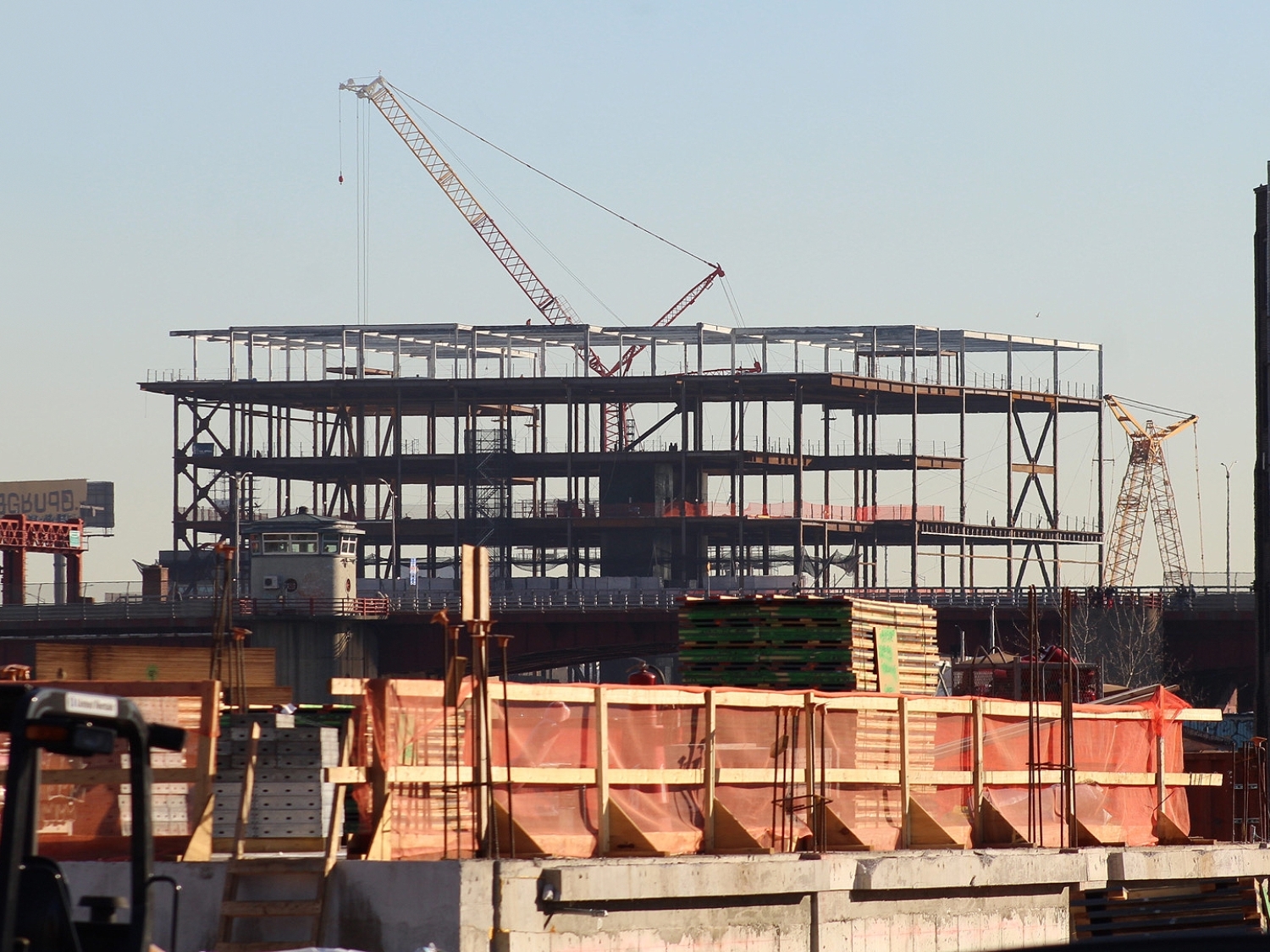
NYCDEP Borden Avenue Pump Station
- Owner: New York City Department of Environmental Protection
- Completed: May 2025
- Services: Land Surveying Services
MFS Engineers & Surveyors provided professional land surveying services for the NYCDEP Borden Avenue Pump Station Expansion Project in Queens, New York. The project scope included a detailed survey of the pump station site, encompassing sidewalks, curbs, and adjoining streets, as specified in the survey limits. Horizontal coordinates and bearings were established based on the NY Long Island State Plane Coordinate System (NAD83), and elevations were tied to NAVD1988 datum using RTK GPS methods, with all measurements reported in U.S. Survey Feet.
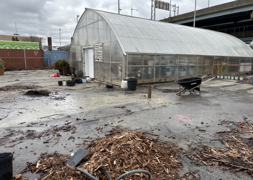
MFS conducted a topographic field survey to locate accessible above-ground physical features such as buildings, curbs, sidewalks, fences, walls, utility poles, and signs within the project area. Features like first-floor elevations at doorways, cross-sections of paved surfaces at 50-foot intervals, and spot elevations sufficient for generating half-foot contours were documented. Break line features, including the top and bottom of curbs, edges of pavement, and slopes, were also surveyed. Utility surface hardware, such as manholes, catch basins, and hydrants, was identified, and efforts were made to measure inverts and pipe sizes where accessible. MFS noted any structures obstructed by debris or water but did not perform cleaning or clearing.
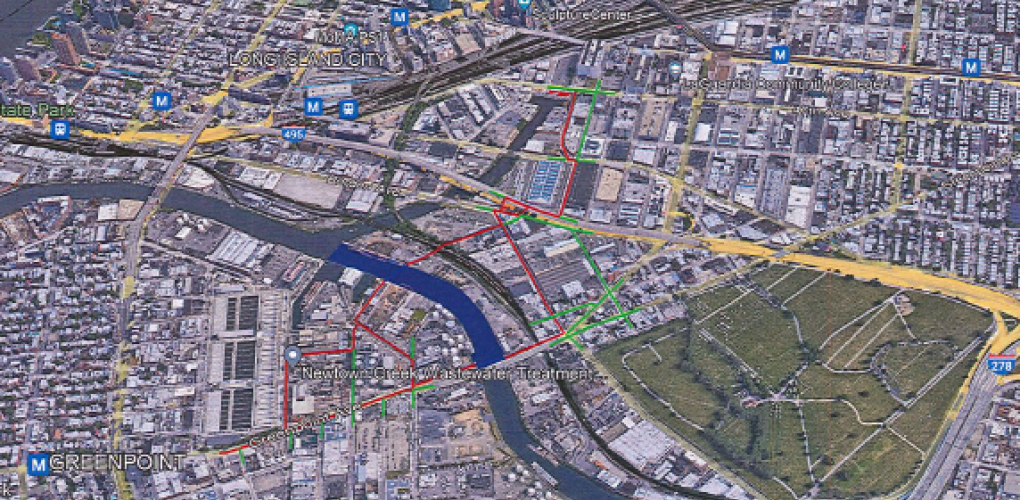
Subsurface utilities, including water, gas, and electric lines, were depicted based on surface features, available mapping, and visible utility mark-outs.
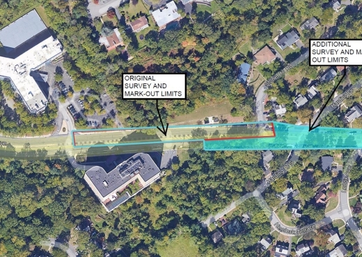
For the Right-of-Way (ROW) survey, MFS field personnel located property line evidence, such as markers, fences, and walls, to assist in determining boundary lines. Office personnel researched land records, deeds, and ROW documents from the Borough’s Topographical Bureau and other agencies. Property line and ROW data were depicted on the survey plan, along with easements and agreements affecting the area.
Subsurface Utility Engineering (SUE) services included electromagnetic utility locating in compliance with Quality Level “B” of CI/ASCE 38-02 standards. MFS marked the approximate centerlines of utilities on the ground and created field sketches showing utility configurations, types, and annotations.
Deliverables included an AutoCAD Civil3D file with the surveyed surface, a signed and sealed bond copy of the survey, and a PDF version of the final survey. The CAD file was prepared to meet NYCDEP BEDC CAD standards, with the plan view oriented parallel to the roadway.