Government
NYCEDC Stuyvesant Cove Park Topo Survey
- Owner: New York City Economic Development Corporation (NYCEDC)
- Completed: June 2025
- Services: Land Surveying Services
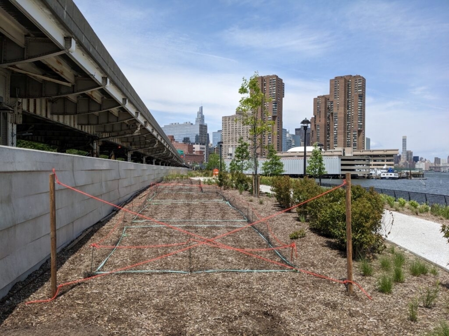
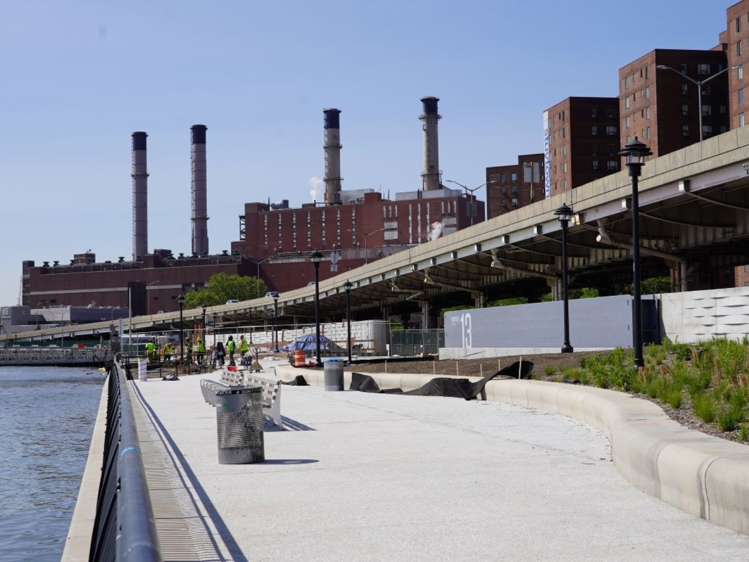
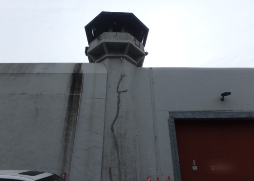
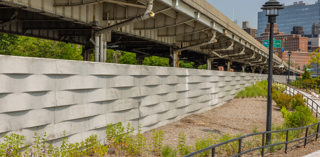
MFS Engineers & Surveyors provided land surveying services to support the NYCEDC Stuyvesant Cove Park Gravity Retaining Wall Post-Construction Inspection and Design-Level Inspection. The work included a topographic survey and an underground utility survey within the project limits.
The survey team established horizontal control in the field using GNSS RTK observations for at least four primary control points, supplemented by additional control points located by conventional traversing procedures. The horizontal control was tied to the New York State Plane Coordinate System NAD83, US Survey Feet, and vertical datum was tied to NAVD88.
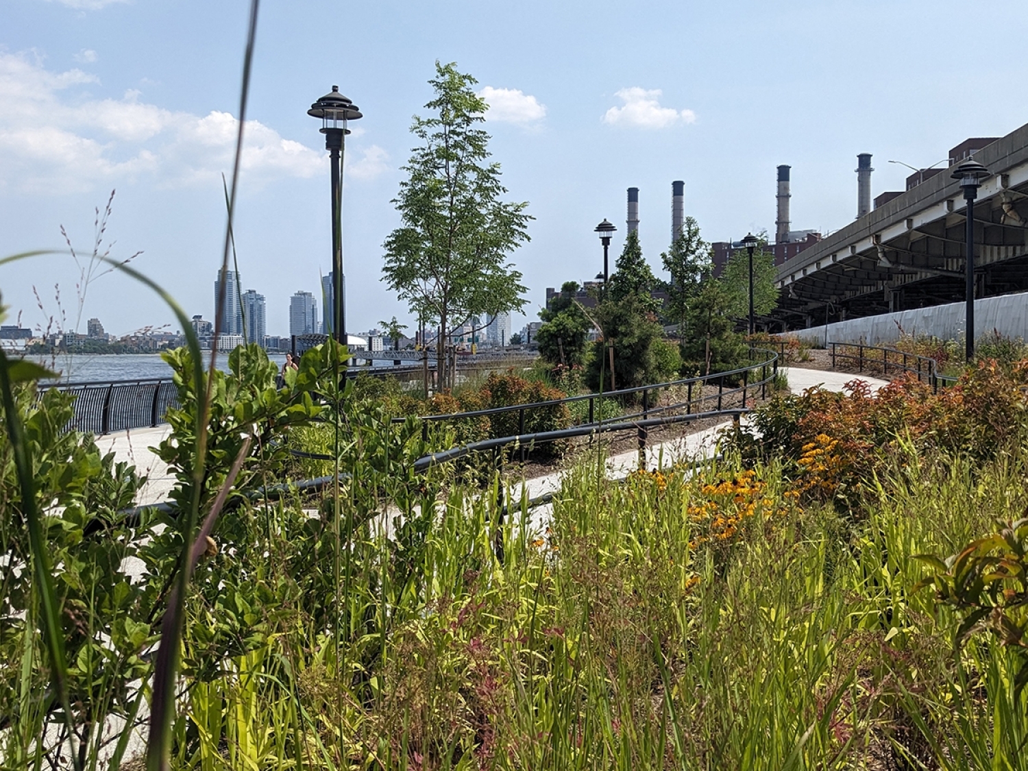
The topographic survey located accessible above-ground features including buildings, curbs, utility hardware, pavement edges, driveways, striping, sidewalks, fences, walls, utility and light poles, signs, street trees, and tree lines. First-floor and garage floor elevations were determined at doorways. Cross sections of paved surfaces were surveyed at a minimum of fifty-foot intervals and at high and low points, and spot elevations were taken at intervals sufficient to produce one-foot contour mapping. Break line features such as top and bottom of curbs, pavement edges, slopes, swales, banks, and walls were also recorded.
The underground utility survey documented accessible surface utility hardware such as manholes, catch basins, trench drains, valve covers, utility and light poles, and hydrants. Visible utility mark-outs present at the time of the field survey were located, and measurements were taken to determine inverts and pipe sizes at accessible sanitary and drainage structures. Subsurface utilities such as water, gas, electric, and communication lines were depicted based on surface structures, visible mark-outs, and available record mapping. Utility data was collected to Quality Level C, correlating surveyed visible facilities with existing utility records.